|
The night was calm and dawn was once again low cloud. I was
packed up and away by 08:10am. I wheeled my bike to Station Rd
then cycled to the railway and crossed by the underpass. I
wasn't looking forward to joining the very busy main A7 which I
followed roughly south as fast as I could. I reached my left
turn off to the B6368 which was signposted to Souta in 5miles.
There was an interesting bus shelter at the junction with Sunday
newspapers in a rack inside. |
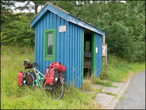
Bus Shelter and Sunday Papers. |
|
I set off up the steep climb which fortunately wasn't too long.
After a while I came to a cast iron post by the road that I'd
seen before on a car journey. I'm convinced it is an old gas
retort. The road undulated then a steady climb up to Soutra
Aisle where I stopped to investigate the stone building. |
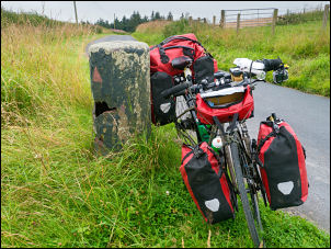
Cast Iron post - possible old retort. |
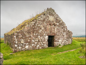
Soutra Aisle |
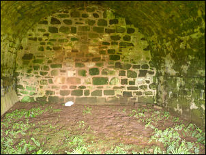
Soutra Aisle interior. |
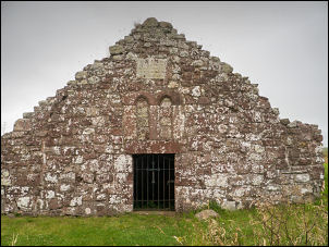
Soutra Aisle |
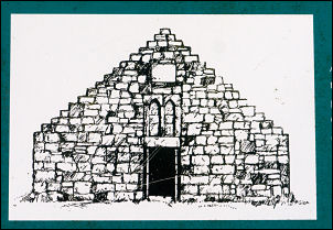
Soutra Aisle from the
information board. |
|
There were several interesting information boards and
spectacular surrounding views.. I continued down the long
descent to the main A68 where I turned left for a short while
before turning right on the B6386 towards Gifford. The A68 ahead
was closed so all traffic was being diverted onto the road I was
following. It was easy riding and the traffic wasn't too much of
a problem. The weather continued overcast which was a shame as
some sunshine on the rolling countryside would have been nice. I
reached the village of Gifford which was quite busy for a Sunday
morning. There were also plenty of cyclists around. |
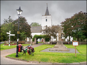
Gifford & church. |
|
I wanted to search out the ruined Yester Castle in the woods to
the SE. The Yester Estate road seemed to go past but there were
large closed gates blocking the way. I asked a lady out walking
and she told me to follow a footpath through an iron gate and
through the woods. I did and part pushed and part rode my bike
following signs to Garvald. Eventually I reached my original
planned route by the river and asked some walkers if I was going
the right way. |
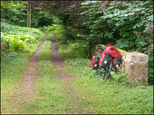
Heading through the woods. |
|
Eventually a family group of walkers knew the way and I
followed. Leaving the valley bottom track I crossed over a
bridge and headed up through woodland along a horribly wet and
muddy track, pushing my bike all the way. Eventually I reached
the ruins and was very impressed though most were obscured by
trees. Underneath was the Goblin ha' (Goblin Hall) which is a
large vaulted chamber and very impressive. I tried another way
back with my bike but one section was so steep I had to take my
rear pannier bags off and push. I reached the riverside track &
turned right towards the road junction. |
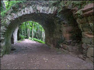
Yester Castle. |
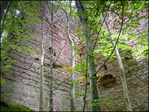
Yester Castle. |
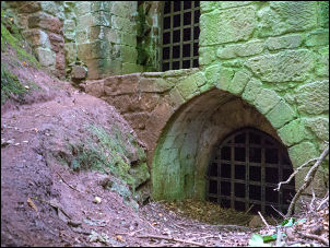
Yester Castle. |
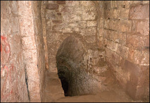
Goblin ha' |
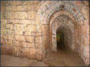
Goblin ha' |
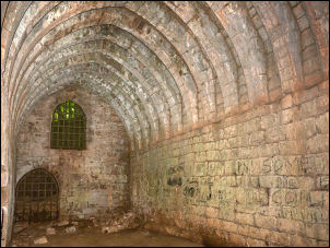
Goblin ha' (hall) |
|
The state of the track was even worse and mostly unrideable. I
reached the road but the gate was locked with only a small gap
for walkers. There was no room for a bike. I managed to get into
the drive of an adjacent house to get access to the road. The
house seemed unoccupied. I pushed my bike up a steep hill to
start my way back to Gifford. |
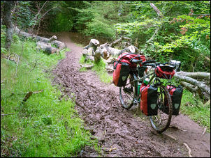
Unrideable muddy track. |
|
I got to the top and checked my camera bag on the bars to find
my phone wasn't there. I had to return to the muddy track in the
trees and fortunately didn't have to go too far before finding
it on the muddy track. I was very relieved as I returned to the
road along the hilly road back to Gifford for a sit down &
something to eat and drink. There were even more cyclists
around. I followed the B6369 to Haddington where I stopped to
take a photo of a stone building as I had a photo of the same
building during WW2 with Polish tanks on a training exercise. |
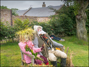
Gifford - Scarecrow Festival just
finished. |
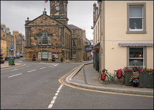
Haddington. |
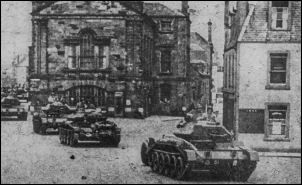
Haddington WW2 |
|
A lady was cleaning out one of the public toilets and I asked if
it was OK to get water from the sink tap. I filled my 2, 2lt
bottles and continued on the B6471 to leave the town and join
the cycle trail along the old railway route (North British
Railway - Haddington Branch). I've been on it on a previous ride
and followed it for about 4km to a picnic area where I pitched
my tent. |
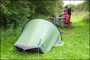
Camp on the old railway. |
|
|
