|
The dawn view from my tent was grim. Thick cloud and heavy dew
was everywhere. The good thing was no wind. After packing up my
soggy tent I needed plastic bags over my shoes to stop my feet
getting soaked by the wet grass as I walked my bike down to the
road. |
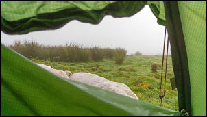
Rainy morning seen from the tent. |
|
I started with a constant climb to the summit of Wichie Knowe.
It wasn't as tough as I was expecting and once over the summit I
had the long descent to A708 at Yarrow and also dipping below
the cloud level. I turned left to head up the valley with the
War Memorial Cross standing out to the right. |
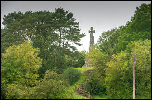
Yarrow War memorial. |
|
I continued up the valley following above Yarrow Water until I
came to the Gordon Arms where I turned right. It was interesting
to see the sign saying it was the way to Innerleithen and
Heriot. I was surprised to see Heriot as it is a small community
and still a long way off. |
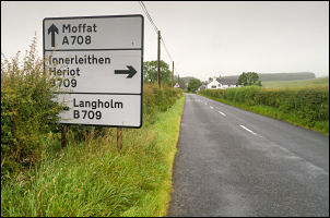
Sign for Heriot. |
|
I followed Mountbenger Burn steadily upwards for about 3 miles
to the summit of the pass then over the top turned my rear light
on for the descent. It was a steady ride down to Traquare where
I stopped to look at the sandstone War Memorial. |
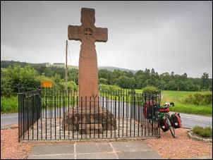
Traquare memorial. |
Continuing on towards Innerleithen I stopped on the bridge over
the River Tweed to admire the iron casting of information about
the bridge.
ERECTED BY THE PEEBLES SHIRE ROAD TRUSTEES
1886
R.S.ANDERSON ENGINEER
ROBERTSON & Co CONTRACTORS. |
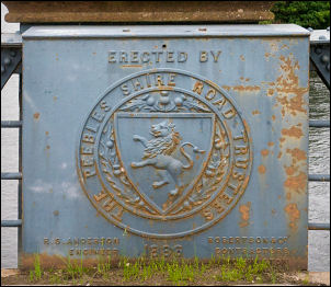
1886 information. |
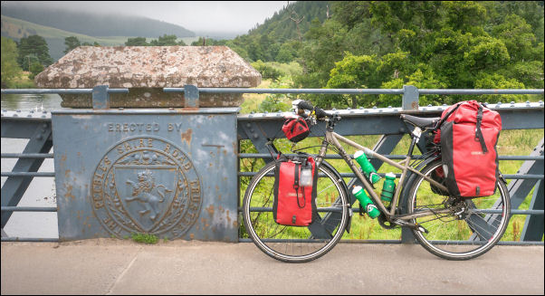
Bridge over the River Tweed. |
|
Innerleithen was quite busy but I didn't stop but turned left
onto the minor B709 which heads to Heriot. I found it
interesting that the only signpost I saw was to the Golf Course
and nothing for Heriot. As I rode up the lane there were many
parked vans and lots of cyclists getting mountain bikes ready.
There were so many it looked like some kind of event was on. The
gloomy weather started to brighten up as I reached the golf
course. |
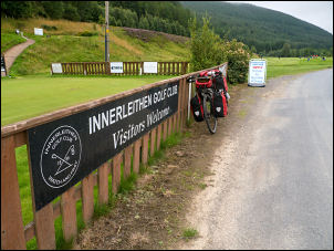
Road through the Golf Course |
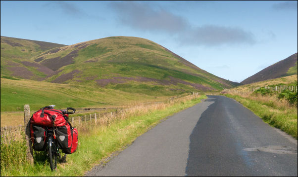
Heading up the pass called 'The Granites' |
|
I continued up the winding valley following Leithen Water then
Glentress Water where the main climb started. The sun came out
and for a while was quite warm. At the summit I stopped at the
cross marking the Piper's Grave. It had been warm on the climb
but starting my long descent to the north the air temperature
dropped. |
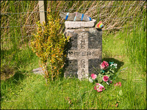
Piper's Grave. |
|
At Garvald Lodge I turned right along the continuing minor B709
towards Heriot. There were several family sized tents and a lot
of people camping by Heriot Water. Their cars were parked along
the road but I couldn't see an obvious place to get through or
over the fence to get to the tents. Further along the road I
stopped briefly at Heriot Kirk. Apparently on one side of the
pulpit is the old hour-glass in its iron frame. It was used to
stop the Minister from over-preaching and is said to be one of
only two remaining in Scotland. Then on to the McFie Memorial
Hall which is being renovated. |
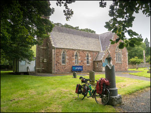
Heriot Kirk, rebuilt and opened 1875. |
|
I spoke to the couple who live in the adjacent house and they
filled my water bottles for me. We chatted for a while then I
continued into Heriot and onto the old Station Road. I stopped
outside the old Police Station where Clair, the lady, was
painting the outside wall white. This is where I've got water in
the past from their outside tap. Her husband Julian came out and
after a short chat I wheeled my bike to the trees at the far
side of the grassy play area where I pitched my tent. |
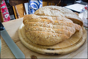
Home baked bread at Leigh's |
|
It was still wet from this morning but soon dried. I enjoyed a
coffee while I read my book then at 16:15 visited Leigh who
lives in the adjacent house. We chatted and had coffee with home
made soup and bread until around 18:15 when I left so she could
go and collect her daughter. |
|
|
