|
The day dawned with low cloud. I packed up and was on my way
before 9am. There was still a bit of headwind but not too bad.
I'd hoped to have a look around the Samye Ling Tibetan Monastery
grounds but when I arrived there was a tape across the access
saying they were closed due to Covid. I stopped briefly to take
a photo then continued. |
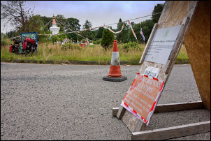
Closed Samye Ling Tibetan Centre. |
|
My next stop was a short way on at the entrance road to the BGS
(British Geological Survey) station. I didn't ride to the
entrance gates as it is closed to the public and I've been there
before. I continued north up the valley then started the long
steady climb over Cross Hill Pass. |
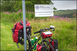
Entrance to Eskdalemuir Observatory. |
|
Part way up I stopped by the Seismological Station on the right.
There was a car parked in the laybye and a door was open on one
of the outbuildings. A waited a while but didn't see anyone
about. |
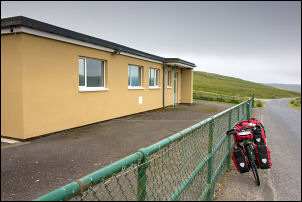
Seismeological Station. |
The Eskdalemuir auxiliary seismic station (AS104) became fully
operational in 1962, making it the longest-operating steerable
seismic array in the world.
In the early evening of 21
December 1988, the observatory's seismometers recorded the
ground impact of Pan Am Flight 103, which crashed into the
nearby town of Lockerbie 23 kilometres (14 mi) away after being
destroyed by a bomb. The event registered 1.6 on the Richter
magnitude scale.
The station was also able to pick up seismic
waves that were generated by an explosion onboard the Russian
nuclear submarine, Kursk in the Barents Sea on 12 August 2000.
That is 2,690 km (1,670 mi) away. All the 118 crew died. |
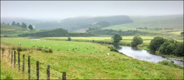
Ettrick Water. |
|
I continued the steady climb in gear no03 but by the summit was
in low cloud and drizzle. It wasn't bad enough for waterproofs
so I pressed on. The only vehicles were large logging lorries
which were too big to give me much room as they passed. I still
had a slight head wind but nothing like yesterday. I continued
to Tushielaw where I met a couple of cyclists coming the other
way. I was now below the cloud but as I followed the Ettrick
Water Valley the surrounding hills were in cloud and gloomy
weather. With not much to see I pressed on to Kirkhope. I was on
the lookout for water and had a look at the building on the left
which seemed to be occupied but couldn't see an outside tap. I
turned left up the narrow road over Witchie Knowe and slowed by
the bungalow on the right. |
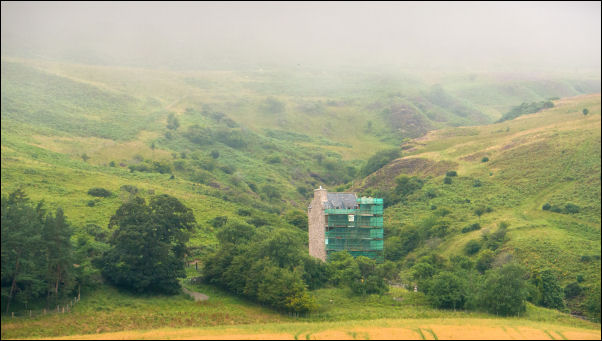
Kirkhope Tower. |
|
|
|
It was deserted. Further up I had a look at a large house on the
left. I knocked on the door but no answer. There was a tap
outside but no water came out. I then cycleed down the farm
track to Old Kirkhope Farm where I've got water in the past. A
woman opened a window and said it was OK to get water from an
outside tap. I couldn't find the one round the back but there
was one at the front so used that. I continued up the pass then
pushed my bike up the grassy hill to a flat pitch I've used
before. The low cloud continued so the views were hazy. |
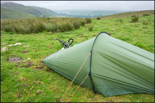
Camp 02 above Ettrickbridge. |
|
|
