There was a lot of overnight rain and by morning the ground
around the tent was even more sodden than last night. Thankfully it
stopped about half an hour before I started to pack up and the wind
helped to get the tent almost dry. I was packed up and away just
before 8am and wheeled my bike across the grass to re-join the
tarmac cycle way. The rout continued along the side of Hillend
Reservoir and as I expected there were several camp spots available
which were better than the one I chose last night, but that's the
way things are.
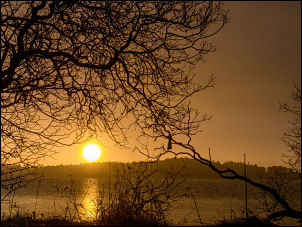
Hillend Reservoir sunrise
I continued along the railway and the trail
eventually crossed the main road and on out into open countryside by Blackridge
Village. The trail made a detour away from the railway and went out
through woodland and then returned back to the railway line and
continued east towards Bathgate. Considering I was out in the
countryside it wasn't far into the town of Bathgate.
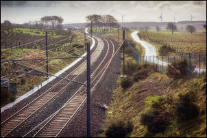
Railway and cycletrack
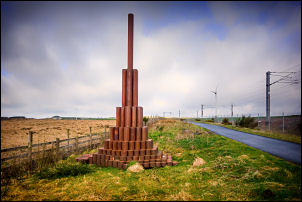
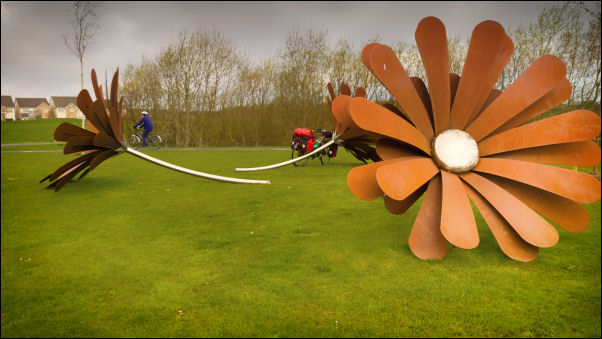
Art by the cycletrack
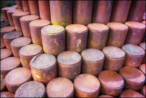
Art detail
Steel daisy
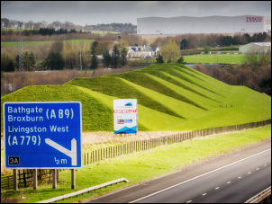
Pyramids by the M8
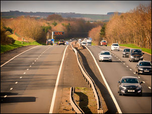
West view of the M8
I emerged
on to a road called Leyland Road by an industrial estate to see some
interesting steel sculptures in the form of large daisies. The cycle
track continued winding its way through open countryside to the
outskirts of Livingston where I found a nice bench to sit and nibble
a few biscuits. The track emerged into an open area with several
impressive buildings looking like they were part of a university
campus. Further on the trail continued by the river through Almondale
Park. Riding along the side of the river almond I passed under a
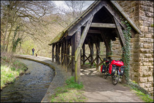
stone viaduct where a timber roof had been fitted for a short
stretch of the cycle track. Adjacent to it was a water course and a
sign saying Canal feeder, it was for the Union Canal.
Canal feeder and cycle track
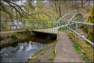
I
followed it along the side of the river Almond and turned right over
a steel bridge where the path was on the top and the watercourse
underneath. On the far side the watercourse continued above the
river at the base of a steep bank. I cycled along the wide valley
to an ornate stone bridge but my way was a sharp turn to the right
and up a steady climb to a park gate where I met the road again. I
turned right and had to get used to sharing my route with cars. A
left turn took me uphill then across a junction to a rough farm
track.
Canal feeder and cycle track over the river
It was rather bouncy for a while until I reached the next
road. I continued on to the road to Kirknewton when I noticed my
Garmin Edge 800 wasn't recording the distance correctly. It had
stopped and the screen had frozen. I stopped for a while to do a
reset. It meant the data for the earlier part of today’s ride was
lost but my backup et30 still seemed to be functioning correctly.
With the 800 seeming to function correctly I continued east for a
few miles where I took a right turn down a steep hill to cross over
the railway. There was a steep climb out of the valley needing my
bottom gear. I turned left towards Balerno where I firstly turned
left down onto the riverside track before realising I’d turned too
soon as I needed to ride into Balerno to the Scotmid supermarket to
buy water. It was an extortionate 65p per 2lt. That wasn’t the main
worry. The adjacent school must have been on late lunch break and
most of the pupils had just descended on the same shop. They’d all
bought a collection of junk food shush as crisps, chocolates pasties
pop etc. I returned to the riverside path along the Water of Leith.
The trail follows the route of an old railway and when I crossed the
river by the first railway bridge I stopped to check out a steep
path up to the right. The map shows it heading for the site of Lenox
Tower, an old ruined castle. I asked a woman walking her dog if that
was the right path. She said it was but the tower was in a private
garden area. I wheeled my bike up the steep climb with difficulty.
At the top I left my bike and walked along the rough path to the
road. The tower was some distance ahead but I still couldn’t see it.
I returned to my bike and erected my tent.
 Return to
Whittle Wanderer
Return to
Whittle Wanderer