IAs it went dark last night the mist and rain rolled in. I’d seen
many logging lorries during the day both full and empty. They
continued rumbling along the nearby lane and all through the night.
By morning it was still thick mist and still misty when I set off
about 07:10am. I had an easy descent down into Eskdalemuir and the
memorial. I turned left for my next objective to visit the Samye
Ling Tibetan Monastery. I’d heard about it but never visited. It was
still misty when I arrived shortly after 7:30am and nobody was to be
seen.
Samye Ling Monastery
Samye Ling
Monastery
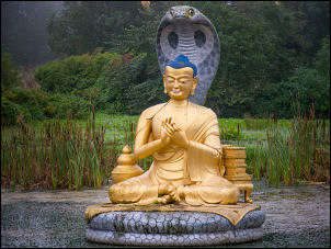
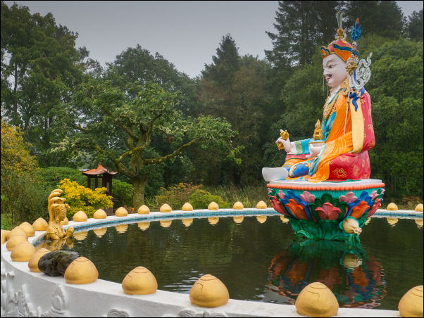
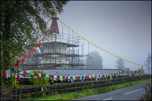
The main temple was shrouded in scaffolding and to the right of the
access path was a golden statue in the middle of a pond.
Samye Ling Monastery
The light was very bad and I’m sure things would look good in the
sunshine. It was interesting to see a bus stop on the road by the
entrance.
Samye Ling Monastery
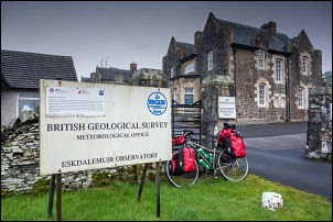
I continued up the road and turned left up the access road to the
buildings that the sign says: British Geological Survey
Meteorological Office. Another sign says no public access. I
returned to the road and continued up the road heading towards
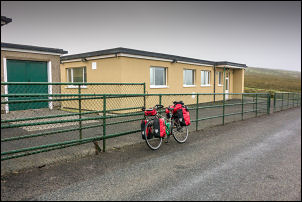
Selkirk. After about a mile I came to a single story building with
no sign to say what it was.
British Geological Survey Meteorological Office
The map says Seismological Station. There were some vehicles
parked opposite and I parked my bike by the fence to take a photo. A
man came out to say hello and we started to chat. He was a keen
cyclist so we had a lot to talk about. He was an electrician and
there was also an engineer there. The building collects
seismological data from remote sensors around the area which is then
transmitted to the scientist by satellite. It can sense vibrations
from all over the world and was built in 1962 as part of the Cold
War concerns.
Seismological Station
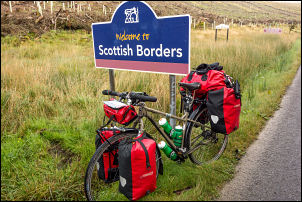
I continued the climb to the summit where there was a Scottish
Borders sign.
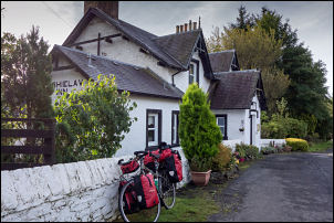
Then I had a long easy descent to the Tushielaw Inn in improving
weather.
Tushielaw Inn
Not only was my route generally downhill but I had a helping wind. I
rode easily along the valley and B7009 to Ettrickbridge where I
checked my phone and could get a signal for the first time since
yesterday morning. At the next junction I turned left onto the minor
B7039 towards the bridge over the Yarrow Water. I saw a sign for
Bowhill Country house and cycled up to investigate. There was a man
at a wooden cabin who was there to take entry money. He let me by to
see the courtyard and recommended I check out the Victorian Kitchen.
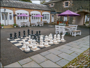
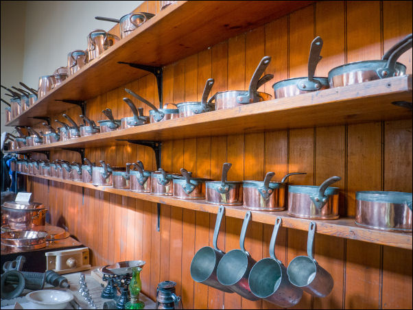
I was impressed by the large chess set in the courtyard and the
kitchen display was also impressive. I left to continue my way but
stopped to thank him as I passed.
Chess
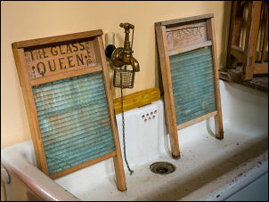
Lovely old advert
Washboards
Kitchen and pans
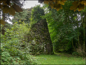
Over the bridge I turned right along the A708 for a while before
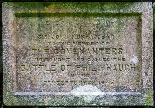
turning left into the trees to search out the stone monument for the
1645 Battle of Philiphaugh which was fought on the land below. Back
n the road I continued to a cafe with information board about the
battle. I was able to get my water bottles filled at the cafe so
could camp without having to go through Selirk to buy water. I saw a
path away from the road and decided to follow it. It was tarmac
surface and brand new but the first part didn’t have anywhere to
camp. Further along was a new flat wide verge but no grass had grown
yet. Though not ideal I decided to camp making sure the pegs were
well in as the wind was now getting very strong.
 Return to
Whittle Wanderer
Return to
Whittle Wanderer