OS Grid ref: NY 31847 25601 Lat/Long: 54.6209290,-3.0569940
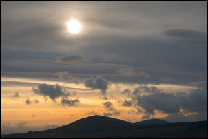
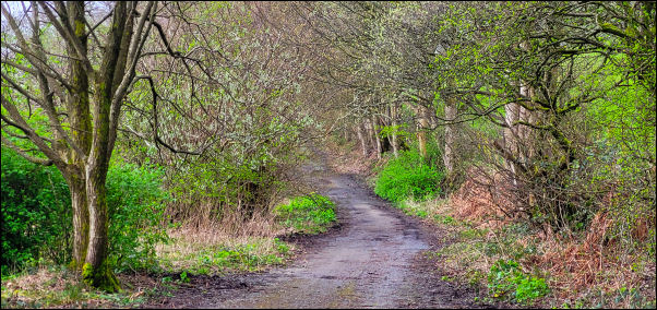
Sunrise on the climb.
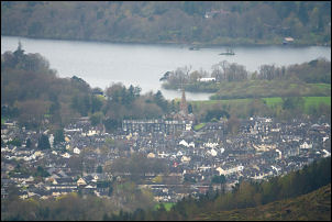
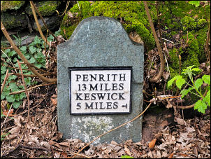
Distant view of Keswick.
The weather forecast was grim with heavy rain due around 11am. I
decided to set off earlier so I could be up Blencathra and part
way down before the rain hit. I started from the Threlkeld car
park under heavy cloud and set off up Kilnhow Beck to the base
of Gategill Fell. Turning left I followed the path that runs
steeply up the hillside above Blease Farm. It joins a green way
with a much gentler gradient but by now I was in cloud and not
much to see.
Mist on the climb
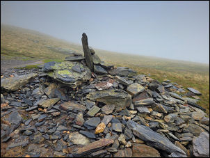
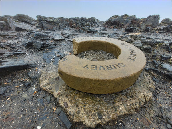
Damaged trig point.
I missed the run off to the right and had to do a diagonal climb
up the fell to join the correct path. Higher up I reached the
zig zag that takes the route up Blease Fell. There was no rain
but the westerly wind was getting stronger. There were a few
other walkers about and also runners wearing shorts in the cold
mist. With nothing to see I pressed on to the summit of
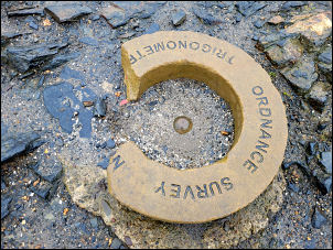
Blencathra and the Ordnance Survey trig point marker ring.
Damaged trig point.
A few years ago the ring had been removed and disposed of so
replacement was made and fitted. I was very disappointed to see
that the replacement now had a large chunk knocked out of it. It
was cold and very windy so I continued to descend to Scales Fell
and get out of the wind. As I got lower the walking was more
pleasant and thankfully the expected rain hadn’t arrived yet. I
joined the A66 at Scales Farm and only had a couple of miles of
road to walk back to the car. Approaching Threlkeld some rain
came but nothing near the forecast.