|
|
Lat/Long: 54.663811, -02.991205
OS Grid ref: NY 36162 30310
|
|
|
|
|
The weather forecast varied by the hour but seemed to
indicate rain from mid day. I reached Mungrisdale and set off
along the lane to St Kentigern's Church where I stopped briefly
to take a photo. I didn’t go inside. Further on I turned left up
the minor track towards Bullfell Beck. |
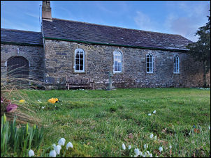
St Kentigern's Church |

Pines near Mungrisdale. |
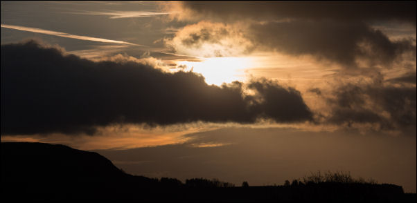
Sunrise. |
|
|
|
|

The track up to Bullfell Beck |
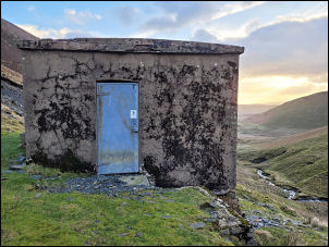
Water intake. |
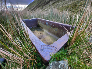
Cattle trough |

Errington Bardon Mill. |
As I went through the gate a solo walker came up behind. He
was heading up towards Raven Crag and on to Blencathra so I
didn’t see him for long. I continued straight ahead for Bullfell
Beck. It was an easy walk along the track to the water intake
building but I’ve no idea if it is still in use. Further up I
stopped briefly at the ruined sheepfold and nearby earthenware
trough. |

Looking down Bullfell Beck. |

View from Bowscale Fell |
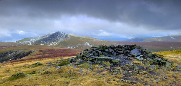
Bowscale Fell and Blencathra in the distance. |
I crossed the beck and took a steep diagonal line up to
another sheepfold in a flat area by a rocky outcrop. It is a
quiet secluded spot so I stopped to eat my sandwiches. There
were still small snowfields around. I followed the contour and
crossed the small beck to take a diagonal and pathless route up
to the east of Bowscale Fell. |

Stone slabs. |
|
I crossed over the summit and descended to the main path to the
north of ‘The Tongue’ and descended steadily. As I descended,
others were coming up. Over Bullfell Beck I came to the large
stone slabs forming the footpath. Some have sunk into the bog
and are about 100mm underwater. I detoured over the rushes & was
soon back at the car. |
|
|
|