Lat/Long: 56.806166, -04.088653 OS Grid ref: NN 72484 70223
Set off for Scotland to do some walking about 07:30am. Called at
Broxton, Perth to get fuel then continued to A9 and down the old
road at Dalnacardoch. Parked the car to make a short walk up the
north valley off Glen Garry . I crossed the A9 and up the access
track into Dalnacardoch Wood. A steady climb took me to a radio
mast where I was at a high point and had a good view up the
valley.
Radio Mast.
Lonesome cairn.
My objective was to visit a cairn shown on the map. Below was an
area of old quarry workings but it just seems gravel was taken
out. Continuing up the track I reached a ruined building on my
left and sheep pens on my right. The tall and well made cairn
was visible to my left and seemed to be of a considerable age.
As I reached the track to return a couple walked up and
continued up the valley. On the way back I descended to the
quarry area and followed a track below the woods towards a
culvert under the A9.
Scots Pines
Edendon Bridge.
Edendon Bridge.
On the old A9.
On the old A9.
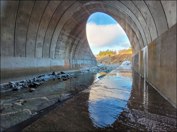
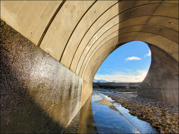
The map doesn’t show a path through but when I got there a
concrete track by the river was accessible. I had to be careful
at first due to a lot of ice. Under the culver was quite
photogenic with the river curves and sky. It is called Edendon
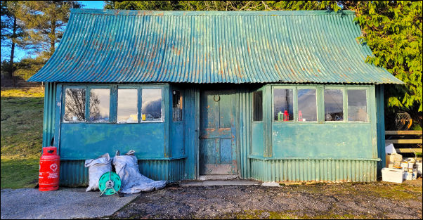
Bridge. On the other side I was able to regain the old A9. There
was a house and a man came out to check what I was doing there.
After a brief cheat I continued back to my car then on to the
car park at Balnasporran Cottages to stay the night. The
temperature soon dropped to -2 degC then -4degC and overnight
down to -10degC.