|
|
OS Grid ref: SD 51978 73678
Lat/Long: 54.156499, -02.735443
|
|
|
During morning drove to Longlands Hotel, Tewitfield near
Carnforth. The reason was to visit the Lancaster Canal north and
the locks that I’ve seen many times when driving south along the
M6 motorway. The canal here is a marina so I suppose this is the
northernmost point that can be navigated to. I set off south
along the lane to the Methodist Church. It was interesting to
see a model railway track around the garden. The Church was
locked. |
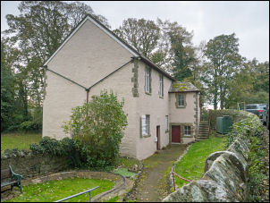
Wesleyan Methodist Chapel 1886 |
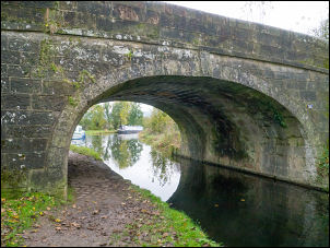
Old Toll Bridge. |
North end of the Lancaster Canal. |
|
|

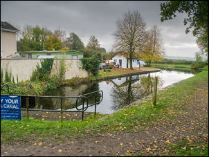
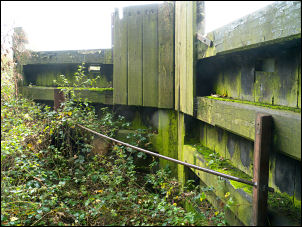
Tewitfield Lock. |
Tewitfield Lock. |
Over the bridge I joined the canal towpath for a short way to
the end of the water but the path continued via a short detour
under the bridge close to the motorway. The canal resumed and I
walked up the locks with the constant noise of the motorway.
Higher up by the towpath was a set of lock gates sitting high
and dry with a plaque saying the locks were in use from 1819 to
1942.
The plaque reads:
==
Tewitfield Locks.
8 locks
at Tewitfield raised the Lancaster Canal 75 feet in half a mile.
These were the only ones on the 57 miles of canal between
Preston and Kendal.
In use 1819-1942.
== |
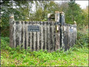
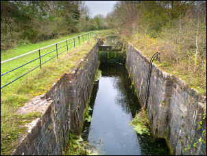
Tewitfield Lock Gate. |
Tewitfield Lock Gate. |

Fewitfield Locks.
8 locks at Tewitfield raised the Lancaster
Canal 75 feet in half a mile. These were the only ones on the 57
miles of canal between Preston and Kendal.
In use 1819-1942. |
|
At first the route was a faint vehicl |
|
At Saltmire Bridge I continued on the towpath as it had signs of
use. Unfortunately there was no way through so I returned and
reached the road bridge then over the railway and returned to
canal at a point that is visible when driving north on the
motorway. There were no more locks as I reached the road at
Yealand Road bridge. I joined the lanes and reached the main A6
road which was uncomfortable to walk along as there was no
footpath, just a rough grass verge. Thankfully I reached my turn
off and headed east along a muddy farm track. |
In a garden near the A6. |
|
Over the railway I reached a metal gate then through fields to
an underpass below the M6 where there was some nice graffiti. Up
the muddy track I reached the canal again but crossed it to
follow a muddy path then muddy farm track to the main complex of
buildings by the main road. I lost the official path through the
buildings but as it was several farm buildings open to families
and children. Through a gate I managed to get back to the road
and my car. |
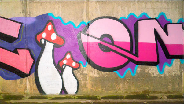
Graffiti under the M6 |
|
|
|
|
|
|
|