|
|
OS Grid ref: NY 35380 26767
Lat/Long: 54.6318770, -3.0025450
|
|
|
The weather forecast was for some rain during the morning and
heavier in the afternoon. I set off driving North along the
motorway just after 6 a.m. and north of Lancaster very heavy
rain began to fall. It had stopped by Penrith where I turned
west along the A66 towards Scales and down the hill to Lamb
Bridge. This is off the main route and gave me a quiet lane to
park the car. It continued overcast weather as I set off south
to walk through Wallthwaite and then along the lane to Lobbs. |
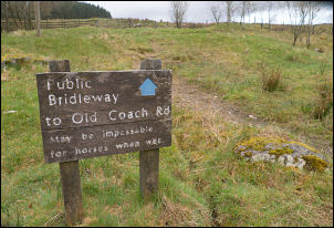
Sign at Lobbs. |
|
I was here last week but took the route through the fields &
lots of lambs. I was apprehensive about walking across Threlkeld
Common as I did last week but now had a better idea of the best
route. Heading south towards the gate by the plantation the
marker post takes the path off across wet ground. The best way
is through the gate to regain the correct path further south.
The worst part last week was Sandbed Moss and today I headed
across Barbaryrigg Moss instead which is a bit dryer and has a
faint track to follow. |
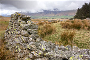
Old sheepfold. |
|
At the Old Coach Road I turned right then soon left Up Mosedale
Beck towards Rowantree Fold. keeping higher up the hillside I
managed to avoid the wettest ground and reached the stone
sheepfold where I stopped to have my sandwiches. Further up I
hopped across the river and continued up the path by the fence
to Calfhow Pike |
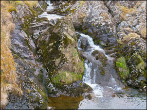
Mosedale Beck. |
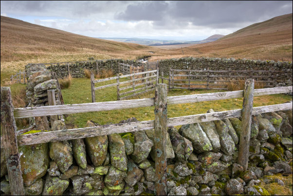
Rowantree Fold. |

Rowantree Fold taken on my descent last week. |
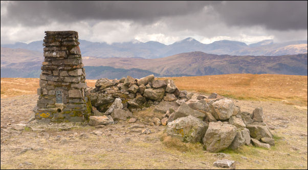
Clough Head summit trig post. |
|
I didn’t go to the actual minor pike
but turned right to take the main straight path up to Clough
Head. I was puzzled that I hadn’t seen anyone yet and looking
around there was no sign of anybody. It was still overcast but
little wind. At the summit trig post I kept the same line to
head NE. I saw the first person of the day as a man came up the
path. Instead of descending via White Pike I decided to try a
path I hadn’t been on before. It takes a more direct route down
to the Old Coach Road and I hadn’t been going long before I
started to have doubts. It was steeply down and getting steeper.
I had to be very careful when on the grass and walking on the
gravel could have been dangerous. It's OK for a climb up but
definitely no way down. |

West view from Clough Head. |
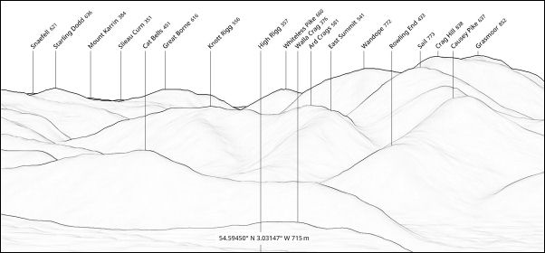
Mountain names from PeakFinder website. |
|
I was relieved to reach the track at the bottom to cross
over and pick the best route I could find through the rushes to
find a defined path down to Newsham where I reached the tarmac.
Further down I reached the River Glenderamackin, crossed the
bridge and turned right to follow the path along the riverside.
There were several dog walkers along the path, many carrying a
swinging bag of dog muck. |

Route of the old Railway. |
|
|
|
|
I crossed Guardhouse bridge and assumed the adjacent
buildings were named after Roman remains. Checking the old maps
didn’t reveal anything. I took the path across the fields to
rejoin the road then back into the fields to Wallthwaite. I was
now back on my original route and soon back at my car. There
were a few spots of rain over the last km and more rain soon
after getting back to the car. |
|
My next objective is Great Dodd |
|
|
|
|
|
|
|
|
|
|
|
|
|
|
|
|
|