|
|
OS Grid ref: NY 33078 32621
Lat/Long: 54.684171, -03.039547
|
|
|
It was -1degC when I left home and surprisingly +1degC driving
over Shap. Approaching the M6 exit at Penrith I became concerned
when flurries of snow started. Thankfully when I reached Mosdale
the snow had stopped but it was still around zero. My concern
was driving up the road towards Swineside and getting snowed in. |
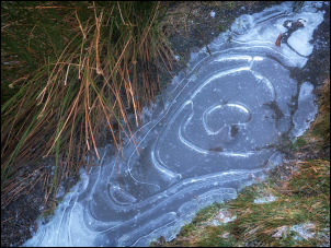
Frosty morning. |
|
I’d also forgotten to put my shovel in the car for the winter
months. I parked near the end of the road in my usual spot and
saw 3 other vehicles already there further up the road. I set
off west along the road taking the grass verge as the road had
patches of ice cover. I passed the vehicles and continued along
the rough track above the River Caldew. The cloud was low and no
summits were visible ahead. I was heading for a path I hadn’t
been on before which involved a river crossing. At the end of
the track I continued along the rough path which was relatively
easy going due to the ground being frozen. Eventually I came to
the fenge, gate and footbridge over Wiley Gill to the circular
sheepfold. |
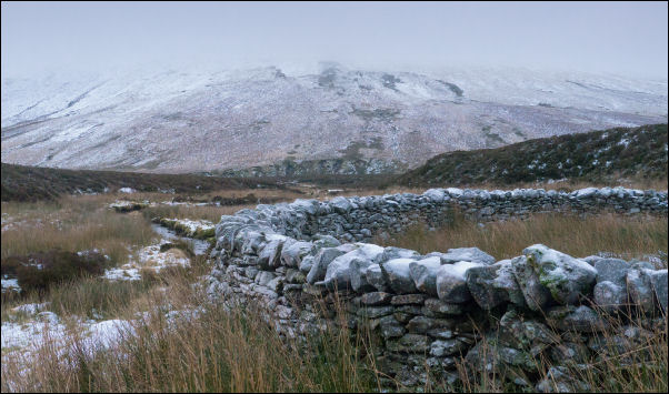
Looking up towards Mungisdale Common from the Wiley Gill
sheepfold. |
The path now follows the river towards the River Caldew. It
waas indistinct in places and very muddy but I soon saw
footprints in the snow heading the same way as me. Later I saw
prints coming back and began to wonder if someone had tried the
river crossing, failed and returned. |
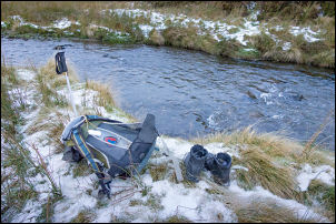
After wading across. |
|
Up ahead I could see the climb up through the snow towards
Mungrisdale Common and the sign of a track. I reached the river
at a sharp bend then walked up and downstream. Most was far too
deep and fast but slightly upstream was a relatively shallow
section that looked good to wade across. I removed my boots and
put my river crossing socks and foam inserts. |
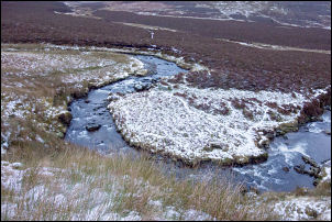
River Caldew. |
|
In case it was too deep I took my trousers off and packed
everything into my pack and set off. It was an easy crossing and
didn’t even reach my knees. On the far side I set off again on
the trudge up into the snow. The cloud was too low to see
anything and the cold wind came from my left. There was no
shelter from cold wind so I ate my sandwiches on the move. The
clomb of Mungrisdale Common was only about 1 ½ miles but seemed
to take forever due to having nothing to see other than mist.
The first part I had one set of footprints to follow then more
prints higher up on the main paths. Eventually I reached the
head of the River Glenderamackin where several walkers were
heading up towards Blencathra. |
I turned left to head towards the left of Bannerdale Crags
and Bowscale Fell. The cloud began to clear and by the time I
reached Bowscales Fell I could see back to the summits of
Atkinson Pike and Blencathra appearing through the clouds. I
started my descent to the west of Bowscale Tarn ridge, keeping
well away from the edge in case of a slip. I reached the descent
path at Tarn Syke where I could see several walkers above. |
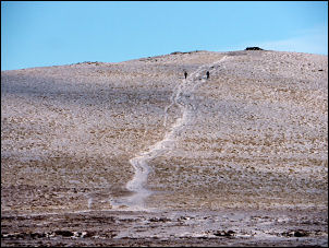
Bowscale Fell |
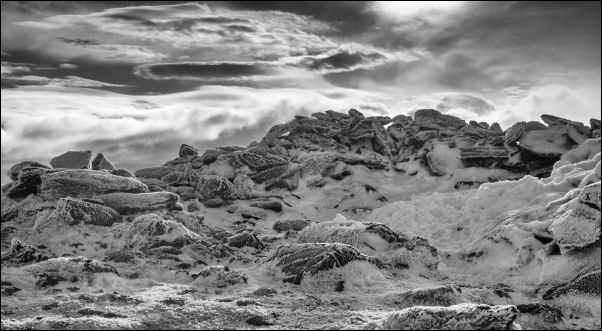
Bowscale Fell summit. |
|
|
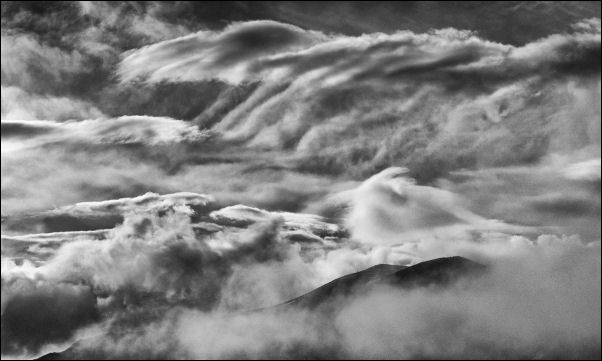
Looking back to Blencathra and Atkinson Pike. |
At the footbridge over the River Caldew I met a family
walking over asking the way upwards. I recommended climbing to
the tarn then descending on the main track back to Bowscale.
After passing the Roundhouse I reached the road and was soon
back at my car where many more were now parked. |
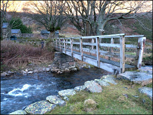
Footbridge over River Caldew. |
|
The paths are indistinct in e. |
|
|
|
|
|
