|
|
OS Grid ref:
Lat/Long: 54.679983,-3.005717
|
|
|
It's just over a week to the Winter solstice and the shortest
day and when I arrived in Mosedale it was still dark. The
drizzly weather turned to a short burst of heavy rain so I
waited in the car for the rain to stop and some light to arrive.
My first objective was to climb Carrock Fell by a different
route where no footpath is shown on the maps. The aerial images
showed what looked like various sheep tracks and as I set off
above Town End Cottages I was pleasantly surprised to find a
fairly good path winding up between the gorse. |
Just coming light as I set off. |
|
Without a path the rocks and gorse would probably be
impenetrable. As the gradient and exposure began to ease I came
to a large stone sheep bield. Behind the wall was a fairly level
spot where a tent would fit. I followed the path further up and
came to another built of equally substantial stones. A large
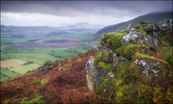
area of fell called White Crags opened up and the track
continued across it. The very wet heather on either side soon
made my boots very wet. |
From the first bield on the climb. |
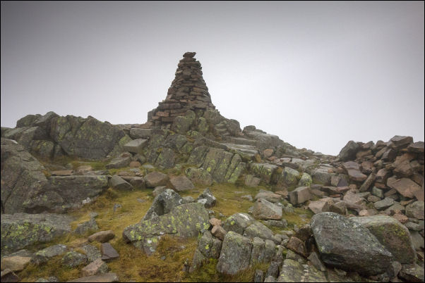
Carrock Fell summit cairn. |
|
The summit cairn of Carrock Fell came briefly into view as the
cloud cleared a bit. Shortly below the summit I reached another
substantial bield where I stopped for an early lunch. I was able
to shelter from the cold wind but when I was ready to set off
again I was cold due to sitting down in the 0degC temperature. I
suun warmed up as I traversed below the summit to pick up the
path heading west towards Round Knott. After last week's visit
to this location and unbelievable wet ground I took a route
further south and thankfully wasn’t as wet. |
|
Over Round Knott and on to Mitton Hill it became wet again but
thankfully last week's snow had gone. When I reached the Cumbria
Way route the sunken track was clear as last week it was filled
with snow and I had to trudge through the wet heather. I reached
the Lingy Hut but didn’t stop as I was on my way to my next
objective of Coomb Height. |
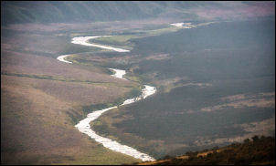
River Caldew. |
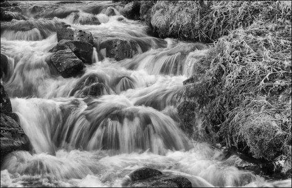
Looking up Grainsgill Beck. |
|
I was very wet again reaching the top of Grainsgill Beck and
then a difficult bog to cross to get to the minor path heading
upwards. I reached the saddle then continued straight ahead to
start my descent across Cocklakes. |
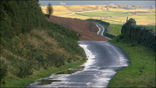
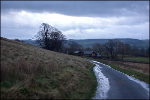
Returning down the lane. |
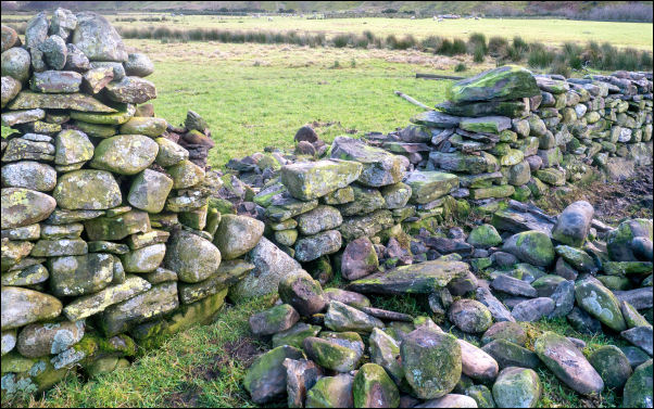
Dry stone wall repairs. |
|
The paths are indistinct in places but I soon reached the main
route down to the SE. I reached the turning circle track above
the River Caldew. There was still lots of water and many
sections of the track were flooded. The weather was improving
when I reached the road though the sun wasn't high enough to
reach the valley bottom. Shortly after passing Swinside House I
noticed the farmer repairing a dry stone wall. I wandered over
to have a chat. He said Swinside didn’t have mains water or
electricity but had a telephone line which was originally up to
the Mines. I left him to his work and returned to my car with
sunny views in the distance. |
|
|
|
|
|
|
|