|
|
OS Grid ref:
Lat/Long: 54.679983,-3.005717
|
|
|
A dark drizzly drive to Cumbria. I arrived at Mosedale and
parked on the grass by the road up to Swinside. It was overcast
when I set off and the high fells were in cloud. I walked back
to the village and headed north along the lane for just over a
mile. I only saw one car the whole way. |
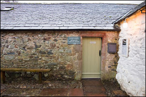
Friends Meeting |House |
|
|
|
My first objective is to find an old mine adit shown on the map
on the north side of Carrock fell. There is a track shown on the
map heading between the mine and a nearby sheep bield but no
link to the road. I left the road before the ford and turned
left onto the fell where I could see a track. It was incredibly
wet in places and looked like trial motorbikes had used it.
Eventually I got higher to the area called Rospow Hills and the
track became more distinct and not too wet. |
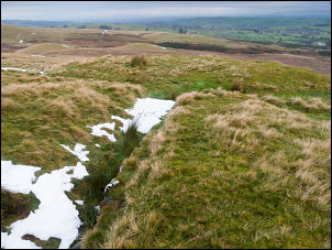
The mine entrance and spoil heap. |
|
Up ahead I could see the sheepfold and the spoil heap for the
mine. It was an easy walk up and there was a horse track leading
to the mine. It is shown on the 1:25k map but not on the large
scale 25in 1910 map. I often wonder how the miners know to dig
in such a remote location at an altitude of 350m with no obvious
geological features to indicate minerals. It was an excellent
spot for views and would make a superb camp on the flat spoil
heap but there was no running water nearby. |
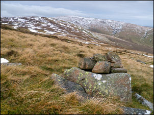
Cairn where the path reaches Carrock Fell |
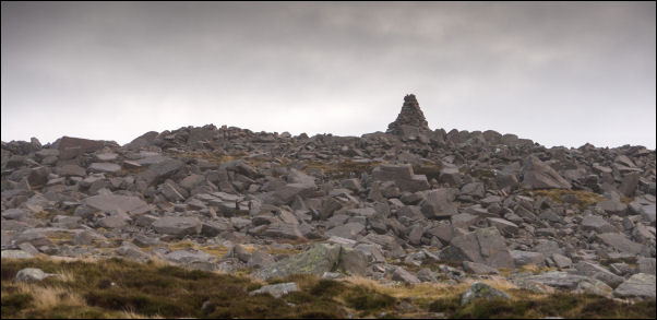
Looking back to Carrock Fell summit cairn. |
|
I ate my sandwiches and left to continue up the track. Towards
the summit of Carrock ridge it became indistinct but still easy
to follow. There was a lot of shallow wet snow around making the
going difficult at times. I then turned west and found a lot of
very wet and submerged ground making the path route impassable.
I made a long detour to Round Knott where the path improved a
bit. The rain started so I put leggings on to continue. The snow
in the rutted path meant I had to walk through the adjacent
heather. |
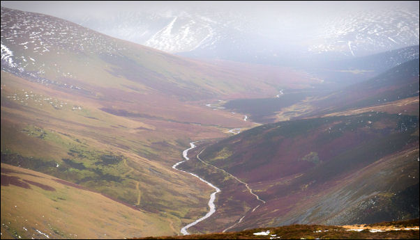
Looking up the River Caldew valley towards Skiddaw. |
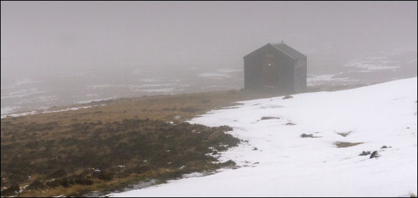
Lingy Hut in the mist. |
|
I reached the Lingy Hut and decided to make my descent directly
down to Grainsgill Beck. I'd originally planned to go over Coomb
Height but it was in cloud so I decided to do it another day. |
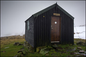
Lingy Hut. |
The descent was difficult due to wet slippery snow and
even the exposed fell was difficult due to the wet. |
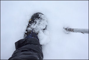
Wet snow. |
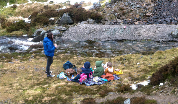
Picnic by the mine. |
|
|
|
Eventually I reached the track by the mine and saw a group of
families with children out for an adventure. Where the mine
entrance is under the road there were a couple of women and some
children out having a picnic. I descended to have a brief chat
explaining about the information board nearby which they had
seen. I continued down the track to the road then just over a
mile back to the car. |
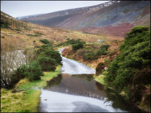
Puddle in the road. |
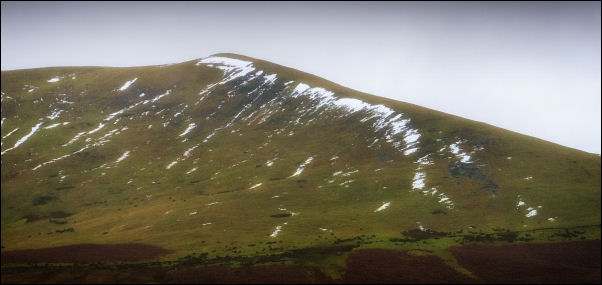
ILooking south to the ridge I descended last week. |
|
|
|
|
|
|
|
