|
Seathwaite, Thornythwaite Fell, Glaramara, Grains
Gill, Stockley Bridge, Cumbria. |
|
|
OS Grid ref: NY 23564
12305 Lat/Long: 54.500284, 03.181776 The weather forecast was good and I had a pleasant drive to the cul-de-sac lane to Seathwaite and found plenty of room to park by the wall. Later in the day the lane verge would be full of cars. Lakeland walker & author Alfred Wainwright made this comment: “Seathwaite, once in a little world of its own with few visitors, has become a pedestrian metropolis. Great days on the fells begin and end here.” Seathwaite is the wettest inhabited place in England and receives around 3,552 millimetres (140 in) of rain per year. |
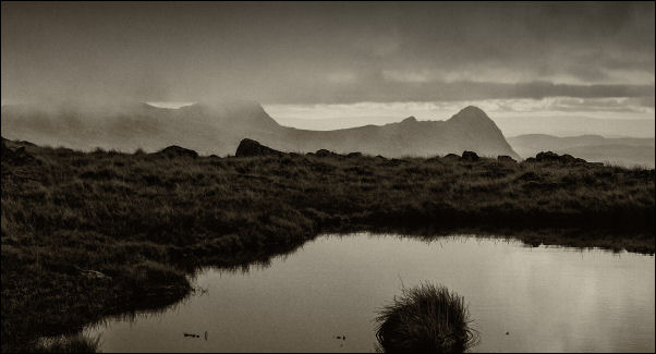
 Sunshine in Borrowdale |
| I set off through the farmyard but soon turned off the main path to Stockley Bridge and headed along the path along the east side of the valley in a NE direction. I could see sunshine on the high fells but didn’t expect to see any in the valleys for a while yet. Near Thorneythwaite Farm I could hear what sounded like a large engine. All of a sudden a helicopter appeared over the horizon and headed up the valley. Near where it took off was a large vehicle and what looked like a fuel tanker on a trailer. Further along the farm access track it was useful to see a field with parking available at £3. |
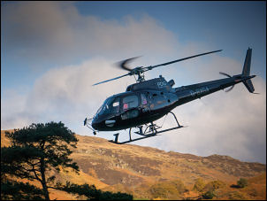 Helicopter taking off |
 The Langdale Pikes from Glaramara |
|
| I turned right up a rough stone track to start the ascent of Combe Gill. I was still in shade but could see sunshine in Borrowdale to the north. After the steepest part of the climb the gradient levelled off and became very wet. I headed for Combe Head which was partly shrouded in cloud. |
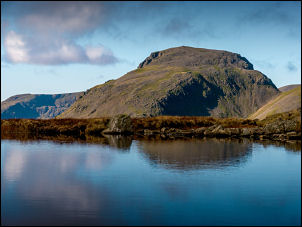 Great Gable |
| I had to get past several tarns to the south and needed to make some detours to get round very swampy ground. I climbed up Glaramara from the east but didn’t have a track to follow. Over the summit were several faint paths but the ground was good enough to make my own way. I descended to Lincomb Tarns where I had good views of Great Gable in the sunshine. The obvious way ahead was over Allen Crags, which is a route I’ve done several times before. |
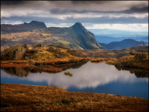 Towards the Langdale Pikes |
| As my planned route was down Grains Gill I decided to see if it was possible to get directly into the Gill from Lincomb Tarns. I approached the descent and could see there was a steep way down via Allen Gill. I took my time and picked a route that took me down to Grains Gill bottom and the main path. I was now in shade all the way to Stockley Bridge. |
 Looking down Grains Gill |
| I continued along the main path back to Seathwaie and was surprised not to have seen a single walker the whole way. Up to the left I could see the old graphite mines that brought prosperity to the valley from the mid 16th century with the development of the pencil. The old map calls them Plumbago Mines. I chatted briefly with the farmer about his parking sign that pointed into his field. It seems a better option than parking along the lane. |
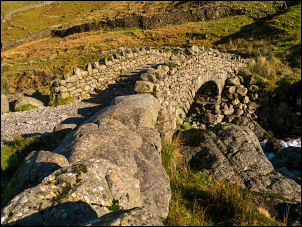 Stockley Bridge |
|
|
|