|
|
Lat/Long: 54.679935, -03.005686
OS
Grid ref: NY 35254 32118
|
|
The clocks went forward last Sunday 30th Mar 2025 so this
morning’s drive along the M6 started in the dark. A clear sky
became quite colourful as the sun came up. I reached the
Swinside Road from Mosedale and parked on the grass verge. It
was a lovely sunny morning as I walked back through Mosedale and
along the road to Bowscale. |
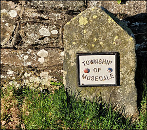
Leaving Mosdale. |
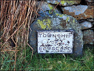
Entering Bowscale. |
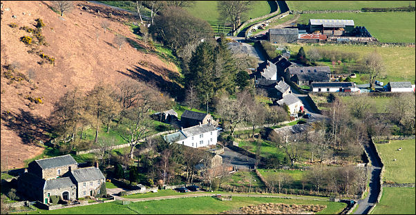
Looking down on Mosdale. |
Walking by the houses there were no parked cars or signs of life
and human habitation. I can only assume the delightful houses
are mostly holiday lets or second homes.
My main objective
today is to check the spring shown on the map half way up the
fell to the south of Bowscale. A short way along the track to
Bowscale I went through the gate then left the track to head up
the fell towards the spring with the stream to my left. It was a
steady steep climb over reasonable ground to reach a patch of
flattened rushes below the spring. Below the rushes was wet
ground but pitching a tent would be possible. A short way above
was the spring source which was slightly below the position
shown on the map. |

Towards Blencathra. |
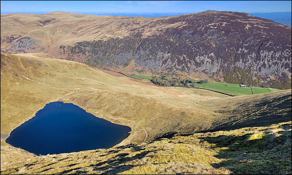
Bowscale Tarn and Carrock Fell
behind. |
|
I continued up the fell until I reached the main path across the
fell ridge. Above Bowscale Tarn I followed the path around the
top of the screes hoping to get some nice light to photograph
the tarn below. I followed the main path down towards Roundhouse
in the valley and began to meet people coming up. The green
track above Tarn Syke was dry and easy and over the footbridge I
reached the properties near Roundhouse. There was some building
work going on which looked like converting the bard to a house.
I reached the road and was soon back at the car. |
|
|
|
|