|
|
OS Grid ref: NN 64551 73205
Lat/Long: 56.830694, -04.220063
|
|
|
|
Overnight it was partly clear so it felt quite cold first thing
at 4degC. Ater a coffee and tin of hot beans Is et off from the
Schiehallion Road to drive in the dark to Dalnaspidal Lodge on
the A9 at Drumochter Pass. It was still dark when I arrived and
low cloud was hanging in the valley to the west. I waited a
while to see what the weather was doing. I was parked by the
Highland Mainline Rail track and a long lumbering train of
tankers headed by towards Inverness. The tankers were all
painted in dark green camouflage, which I thought spooky. A
passenger train came by heading south then another goods train
with Tesco freight carriages headed north. |
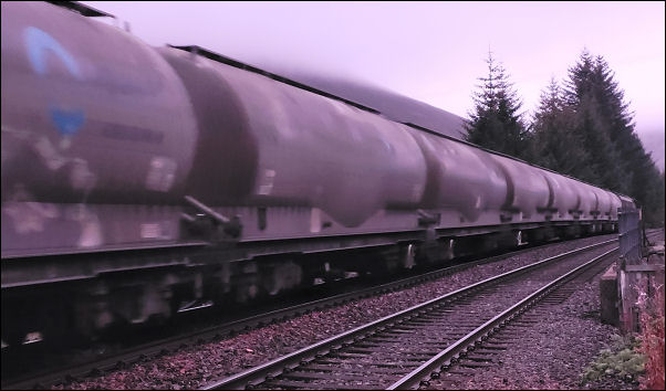
Highland Line freght. |
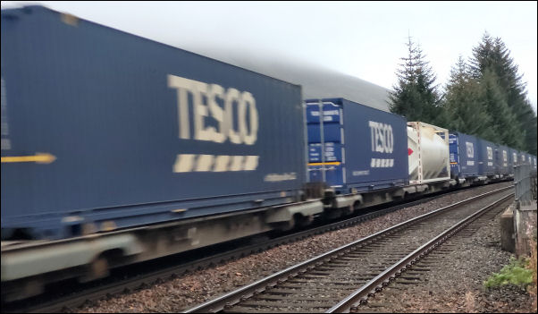
Highland Line freght. |
Boulder at the head of the valley. |
|
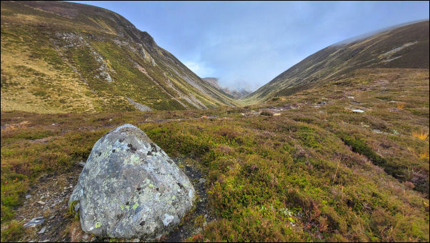
I set off to head west towards the loch. Before reaching a
junction where I turned right up the track and Luidhearnaidh.
The track follows the river but higher up I left it to head
diagonally up the hillside. The first part was on a quad track
I’ve used before but then I left it to follow a route I’d
guessed from the map. I was delighted to find a faint track
heading up along my route. It made for easy going and then as it
petered out I reached a large boulder and a bit further on I was
at the head of the deep valley between The Sow of Athol and the
next mountain to the west. It was very impressive as I looked
down there seemed to be a faint track coming up the east side.
Investigations will have to wait for another time. |
|
I crossed to another quad track who’s existence I knew about. It
took me to a point where I joined it last month on21st Sep as I
climbed the path from the valley to the north. This time I was
able to head toward the summit with a view to most of the trail
ahead. I moved to the right to hopefully get a better view down
into the valley below. Eventually the gradient eased as I
approached the summit trig post of Sgairneach Mhor 991m
(3,251ft). |
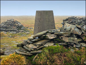
Sgairnearch Mhor trig post. |
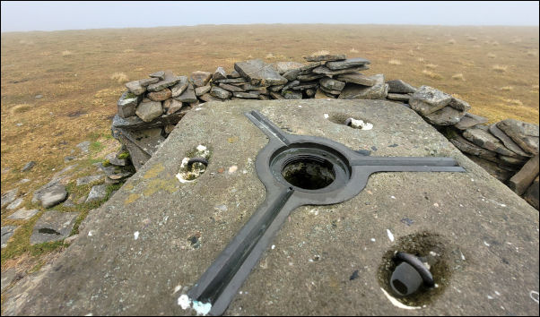
Sgairnearch Mhor trig post. |
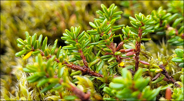
Crowberry on the descent. |
|
To the south there was a brief gap in the cloud and I got a view
of Schiehallion 22km away. I’d lost the distant summit views in
the cloud but decided to take a descent route down the ridge to
the north. All was going well at the start but then lower down
the ground turned from heather grass to boulder fields, which
are difficult to negotiate.. I decided to avoid it and followed
the contour west to join the grassy descent I’d used in Sept. It
was still steep but much easier on vegetation. |
When I got to the valley bottom and the termination of the
valley acces track I had the river to cross. Last time it was
easy but now it was higher due to recent rain. I threw a few
large boulders in to allow me to step across without having to
resort to wading. Once on the track it was easy walking and the
clearing weather bathed patches of valley side in sunshine. Once
under the railway I turned right along the old road that is now
the cycleway. Then about 3km back to the car.
|
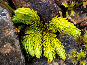
Firmoss. |
|
|

Choire Dhomain. |
|
|
|
|
|
|
|