Return to
Whittle Wanderer
Return to
Whittle Wanderer|
Alston, Newshield Moss, Lovelady
Shield, Nenthall, River Nent, Cumbria. |
|
|
OS Grid Ref: NY 71882
46488 |
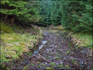 Messy track |
|
After crossing the bridge over the River Nent I reached the right turn up The Loaning. It was a steady and quite steep climb in places. The weather continued very dismal and there was little to see. At the top of the climb I reached the B6294 then crossed over to enter the pine plantation. The map shows a bridleway following a track up through the trees. There was no footpath sign and the gate was locked. I climbed over and set off up the steep track. Before long the track degenerated into a badly eroded mess. |
 Colourful morning |
|
The map calls the area High Mounthooly Plantation. I emerged from the trees into an area of semi cleared ground where the pine trees had been felled and a terrible mess of branches left behind. The forestry people have no respect for the countryside by leaving such a mess behind. |
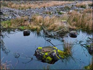 Desolation left by the foresters |
|
The track was completely obliterated and it was difficult to find my way through to higher and clearer ground. Just over the brow of the hill I could see several tall masts. There was nothing to say what they were for other than a sign saying ‘arquiva site: Alston’ |
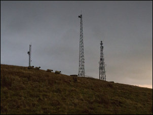 Masts on the hill |
|
Their access track descended to the south so I followed its zig zag route back down to the B6294. My original plan was to cross the road and descend the hillside to follow a path running parallel to the road. There was no public path to connect to it so I continued east along the road to Blagill. |
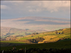 Short burst of sunshine |
|
I left the road to follow a track up to a remote house. The track continues across the hillside and probably pre-dates the B6294 below. After a mile I reached the adopted highway then turned right to head down towards Lovelady Shield. There was a cold southerly wind blowing so I found some shelter behind a wall to eat my sandwiches. I continued down the lane but missed the path heading across fields to Lovelady Shield. I returned to find it then down the field where I had difficulty finding the way. I reached the Lovelady Shield buildings which is a hotel complex. |
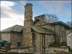 Lovelady Shield |
|
There was nobody about. I took a rough path to the south which took me to an interesting ruin called High Lovelady Shield. Apparently it was a defensive bastle and has date stones of 1691 on the southern gable, a steeply-pitched heather thatch roof line, with a 1720 date stone on a doorhead to the rear. I missed both of these. There is also a medieval pele tower within the building. A narrow footbridge took my over a small side river then back up to the road. I descended to Nenthall Bridge, over the bridge then followed a footpath by the River Nent. |
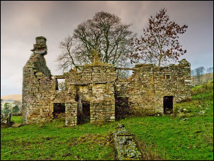 High Lovelady Shield |
|
|
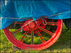 Colourful wheel |
|
It was a pleasant walk and the weather began to brighten up. Before I reached the Lovelady buildings I came to an old mine shaft by the river. The top was open and protected with a steel cage. I dropped a stone down to hear a distant splash below. The bridge at Lovelady was quite interesting with decorative iron handrails. |
|
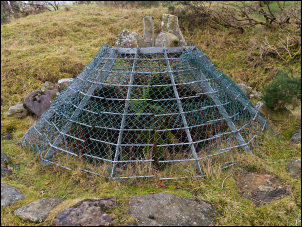 Old mineshaft cover |
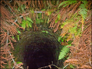 Down the mineshaft |
|
Parts of the continuing path had eroded away and it was quite narrow in places. At Foreshield Bridge the path left the river and I had to follow a track to the A689. |
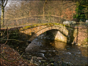 Lovelady Shield bridge |
|
At Far Skelgill I took the minor lane back to the River Nent where path rejoined the river bank. It was much easier walking and dry underfoot. I met a man walking towards me and we chatted for a while. He was called Joe Gilbert and he told me about a local history book by Alastair Robertson called History of Alston Moor. He said it would tell me about the Nentforce level. |
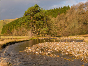 River Nent |
|
I continued along the path to Gossipgate bridge where I left the river above the waterfall and followed the track back in to Alston. I called in to the Town hall is where the Library is. |
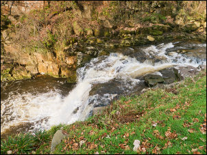 River Nent waterfall |
|
The stone plaque that marked the old entrance to the Nentforce Level was re-sited in the entrance hall in 1844 when it was in danger of being lost due to quarry workings. The librarian was very helpful in finding some reference books for me to look at. |
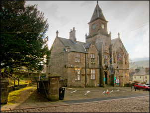 Alston Town Hall & Library |
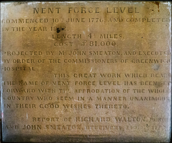 The Nentforce Level Stone in the Town Hall |
|
|
== |
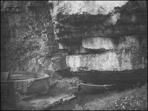 Only known picture of the Nent Force level |
|
|
|