Return to
Whittle Wanderer
Return to
Whittle Wanderer|
Allenheads, Sinderhope Carrs,
Broad Way, Northumberland |
|
|
NY 86996 45237
|
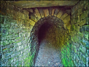 Pony access to the incline |
|
An information board said it was originally used to get ponies down into the mines. Across the road I came to the Gin Hill Mine Shaft which has a stone wall around it and a metal grill on the top. This one is vertical and drops 70m to give access to 5 horizontal levels. In the village is the Allenheads Inn and old mine bogeys outside. A building also housed an old pumping engine but being early the building was locked. I carried on down the road until I rejoined the main B6295. The sun was now well up and I was enjoying walking in the sunshine. At Fell View there are several miners’ cottages. A man was standing by the road waiting for the bus. We chatted for a while and he told me he lived in one of the houses and the old mines were a short way down below the houses. |
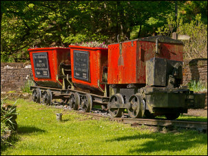 Old mine bogeys at Allenheads Inn |
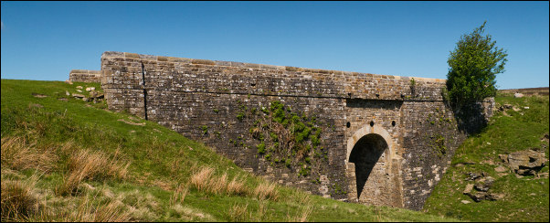 Sipton Burn Bridge |
|
|
At Ellershope Bridge I left the road and started up a steep track leading to a few houses. At the end of the track I went through a gate to follow a wet field to join the main track up onto the moors. The track was very well maintained and was easy to walk on. I reached Sipton Burn and came to a substantial bridge. |
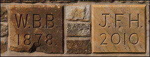 W.B.B. 1878 and J.F.H. 2010 |
|
There were sign of a recent refurbishment and it seemed odd to spend so much time on such a remote bridge. On the parapet a couple of date stones showed the following: W. B. B. 1878 on one, and J. F. H. 2010 on the other. |
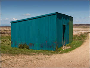 Tin cabin on Broadway |
|
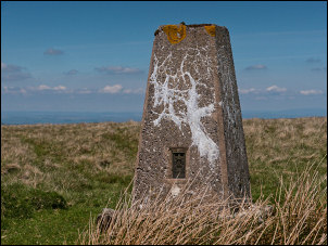
The track continued under the name of ‘Long Drag’ but I soon had to leave it as I wanted to check out the trig post above Sinderhope Carrs. I headed across rough moor to the east till I reached it. There were no paths of any sort so the going was slow. I continued across the moor and descended to Ladle Well Reservoir to re-join the track near a substantial wooden shooting hut. It was locked but across from it was a raised wooded area with a fence round which seemed to be a sort of picnic area. At Hangman Hill I left the track to follow the marked footpath to the south. After a short climb up the side of Rowantree Cleugh the path gradient eased. The path here is called ‘Broad Way’ and goes over Pikeley Rigg but there isn’t anything marking the summit. |
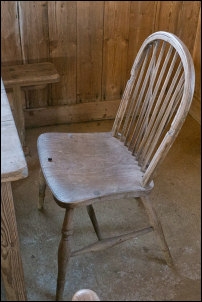 Tidy tin hut interior |
|
|
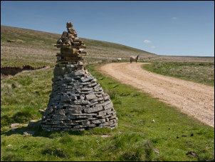 Currick neat Byerhope Mere |
|
At Tedham Moss the path joins another substantial moor track which I followed to another Shooting Cabin. This was made of metal sheeting and was open and very tidy inside. At Green Hill I made a short detour to check out the trig post and then re-join the track down to Byerhope Bank. A currick marked a split in the track and I took the left one to follow it by Byerhope Mere where it meanders by old quarries. The track continued to the road where I’d parked my car. |
|
|
|
|