|
Clattering Causeway, Emley Fell,
Pedder Stell, Northumberland |
|
|
NY 7142 5861 |
 Stone shooting hut |
|
Further on to the right I went through a gate to follow a path shown on the map. A stone shooting hut marked the position. Although the map shows a path there was no path marker post. Fort a while it was more of a track than path and was easy to follow. The easy going didn’t last long and even though I was on the path as shown on the map there was no sign of it on the ground. I had to battle my way across wet ground and rushes. Eventually I reached the sheepfold where the walls meet and thankfully the ground became easier to walk on. I turned west to follow the wire fence line up onto Emley Moor. There was a faint quad bike track which I was able to follow without difficulty, except for a couple of detours to avoid deep bog. The map shows an area called Fox Crags so I made a short detour to investigate. They were hardly crags and just an outcrop of rocks above the heather. |
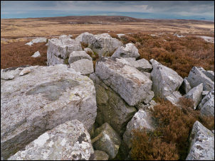 Fox Crags |
|
I crossed open ground to look at the isolated outcrop of Pedder Stell. I found easier ground over Humble Dodd and on to Long Crag. |
 Annoying rubbish dumped by farmers on the moor |
|
On the west side of the crag was an interesting cleared area and some stone foundation. It looked like and old excavation but the building seemed too small to be of significance. I was now crossing Coanwood Common and through a couple of gates reached a stone shooting hut. |
 Stone hut |
|
Through another gate I came to Flothers Well spring, which is marked on the map. The water was issuing from the ground and looked clear but the surrounding area was coloured with what looked like minerals stains. |
 Flothers Well spring |
|
There was only a short walk down the fell, through and gate and back to Clattering Causeway and the car. |
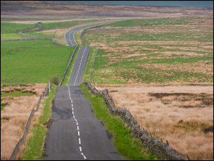 Deserted road on the way home |
|
|
|